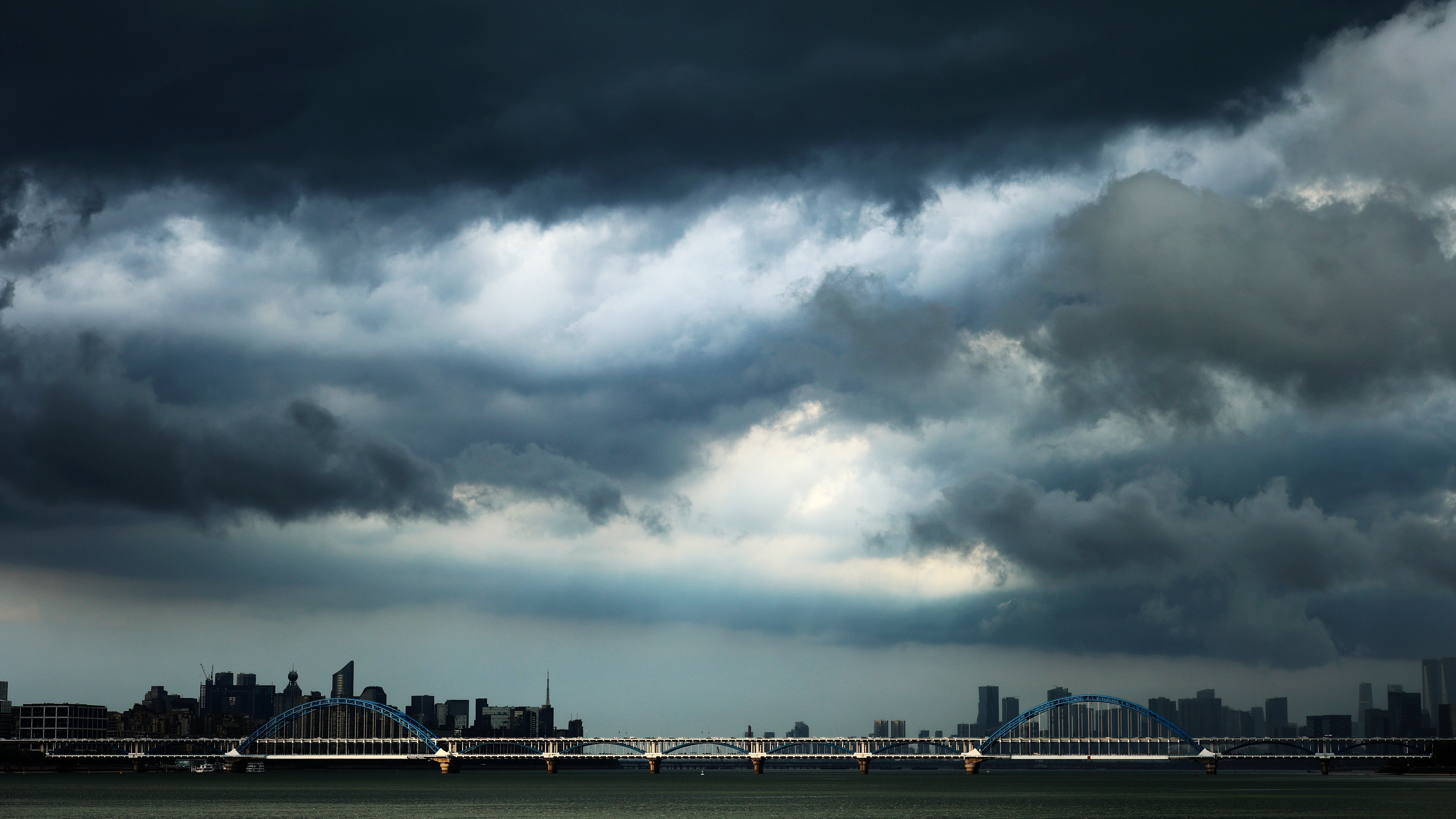
The sky is heavily clouded due to the impact of Super Typhoon Ragasa, Hangzhou, east China's Zhejiang Province, September 19, 2025. /VCG
Super Typhoon Ragasa is expected to make landfall between Shanwei in Guangdong Province to Wenchang in Hainan Province from early morning to afternoon on Wednesday, according to China's National Meteorological Center (NMC).
Currently at Category 17 or above, Regatta is the strongest storm recorded globally this year. The storm is expected to maintain or experience minor fluctuations in intensity, with landfall likely at the super typhoon level or severe typhoon level – comparable Typhoon Mangkhut. The minimum intensity upon landfall is anticipated to be that of a severe typhoon (Category 14-16).

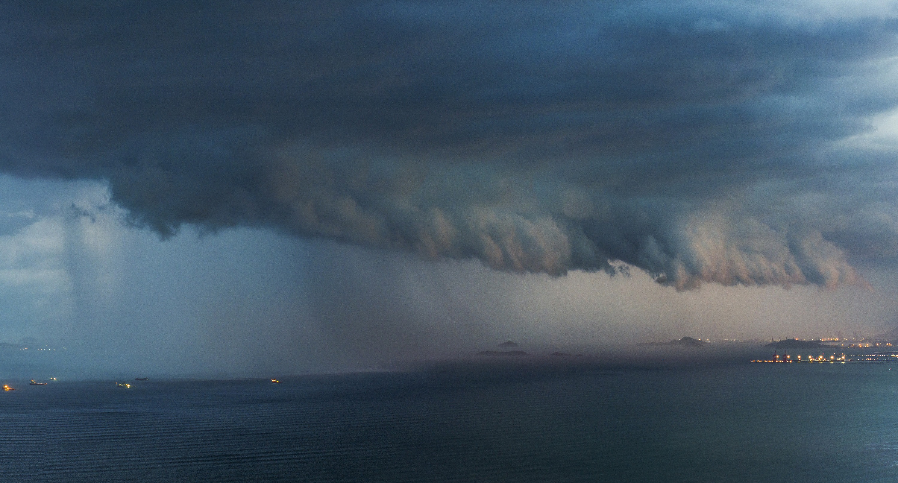
The Tyndall effect appears in the sky due to the impact of Super Typhoon Ragasa, Quanzhou, southeast China's Fujian Province, September 22, 2025. /VCG
Ragasa is predicted to bring extreme rainfall to southern coastal areas of China, with minimal impact on northern regions. While the typhoon's effects are expected to end by late September, but another typhoon moving west into the South China Sea could impact the region in early October may bring further wind and rain, requiring continued vigilance.
Although Typhoon warnings will be lifted as Ragasa weakens after landfall, heavy rain and strong winds may still trigger secondary disasters such as flooding, mudslides and landslides. Close monitoring remains essential.
Typhoon Yagi reaches the coastal areas, Huizhou, south China's Guangdong Province, September 5, 2024. /VCG
Generally, typhoons generated from June to August are classified as "summer typhoons," while those formed from September to November are referred to as "autumn typhoons." From 1949 to 2024, there were 867 "summer typhoons," making it the most active season for typhoons. "Autumn typhoons" totaled 859, accounting for 44% of annual typhoons, and ranking the second-most active period, China Media Group reported.
Ragasa is an "autumn typhoon." According to meteorological data from 1949 to 2024, "autumn typhoons" tend to be more intense and have a greater impact compared to their summer counterparts, according to CMG.
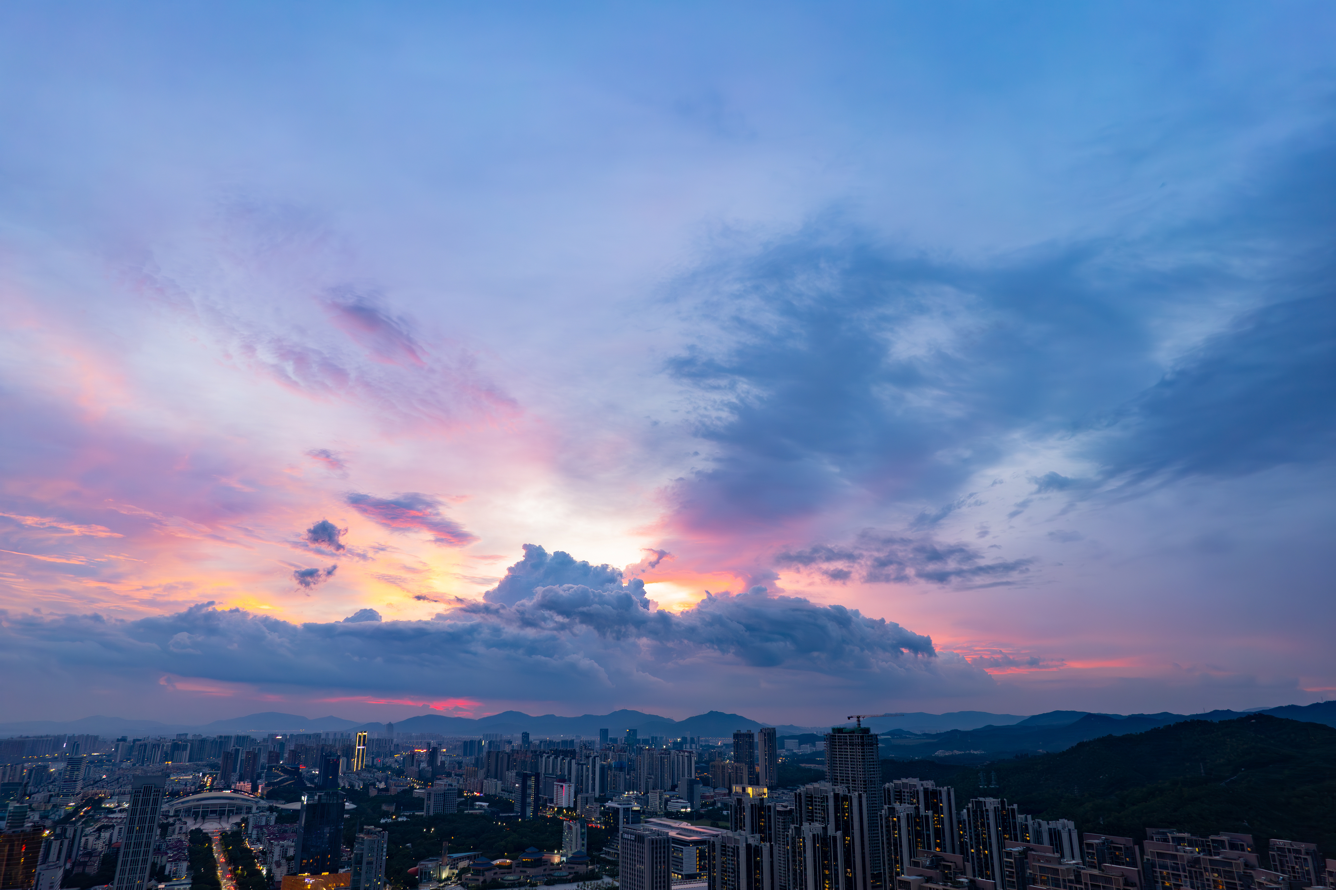
The sky displayed a magnificent sunset due to the impact of Typhoon Mitag, Zhuhai, south China's Guangdong Province, September 19, 2025. /VCG
From August to September, the tropical ocean temperatures in the Northern Hemisphere peak, creating favorable conditions for typhoon formation and energy intensification. As autumn sets in, cold air becomes more active, increasing the pressure gradient and enhancing wind speeds near the typhoon's center, further contributing to the intensification of the storm. As a result, the likelihood of severe or super typhoons occurring in the autumn is higher. Additionally, the combination of "autumn typhoons" and cold air can trigger intense rainfall, leading to more severe disasters.
阅读原文:https://news.cgtn.com/news/2025-09-23/Super-Typhoon-Ragasa-nears-landfall-Why-autumn-typhoons-are-fierce-1GTFSPRwaFW/p.html